
GOOGLE MAPS COLLECTION
France
From Lourdes to the peaks of the Pyrenees.
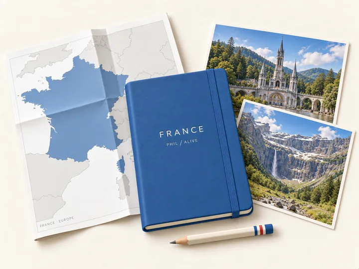
Spend time in Lourdes, then head into the mountains for a completely different kind of awe. My France map follows that journey through sanctuaries, hilltop views and Pyrenean valleys, with the places I stopped along the way.
THE ROUTE
Where this
map takes you.
Explore Lourdes and the surrounding Pyrenees, from the sanctuary and paths above town to the great mountain amphitheatre of Gavarnie. A journey that makes space for reflection and adventure.
- Lourdes’ sanctuaries, old streets and places to pause
- Hilltop walks and wide views over the Pyrenees
- Mountain valleys and the dramatic landscape around Gavarnie
WHAT YOU GET
My places.
Your way there.
- The complete Google Maps listOpen the collection in Google Maps and choose the stops that fit your trip.
- A simple getting-started pageHow to open the list, keep it available and navigate to a place.
- Your access, ready when you areOpen your maps after checkout and keep the access link in your inbox.
WHY I MADE THIS
A place feels different
when someone’s been there.
These maps grew out of my own travels. The places I stopped for food, the streets I wandered, the detours that became part of the day. I kept saving them because I wanted to remember where I’d been.
Now you can start with that same collection. Use it to plan ahead, or open it when you’re already there and see what’s nearby. Follow a few of my stops, leave room for your own, and make a completely different trip.
— PhilLess searching.
More being there.
Pick a place. Open Maps. Go.